
Free
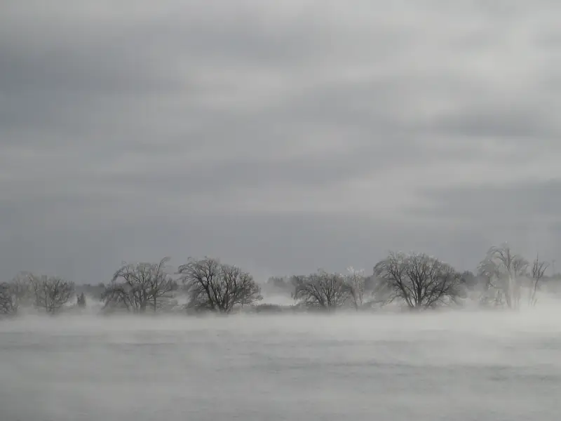
Morrisburg Beach
A municipal beach in the village, with changing rooms and washrooms, open to the public dawn to dusk. Free.
Season Open dawn to dusk, seven days a week (check before you go).
Home / Guides / Morrisburg and Long Sault
St. Lawrence, Ontario
A St. Lawrence shore of drowned villages, with a municipal river beach, a parkway of eleven islands, a living-history village, and a bird sanctuary whose trails stay open all year.
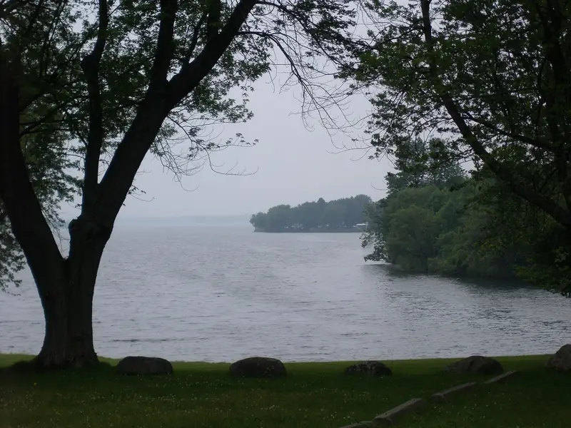
Photo: The St. Lawrence from the Long Sault Parkway, gueco8288, CC BY 3.0
Morrisburg and Long Sault sit on the St. Lawrence where the Seaway flooded a string of villages in the 1950s. What remains is a new shoreline: a municipal beach in Morrisburg, the Long Sault Parkway (a chain of eleven islands, more than ten kilometres through the river) and the living-history buildings of Upper Canada Village, moved here when the water rose.
The Upper Canada Migratory Bird Sanctuary, just west of the village, has more than six kilometres of trails, open every day of the year. The Lost Villages Museum in Ault Park keeps houses and a schoolhouse from the drowned shore. Cornwall is about half an hour east.
Trails, lookouts, waterfalls, beaches and time on the water come first.
A municipal beach in the village, with changing rooms and washrooms, open to the public dawn to dusk. Free.
Season Open dawn to dusk, seven days a week (check before you go).
A township waterfront park west of Morrisburg, with walking paths, tennis courts and historical signs on the river. Free.
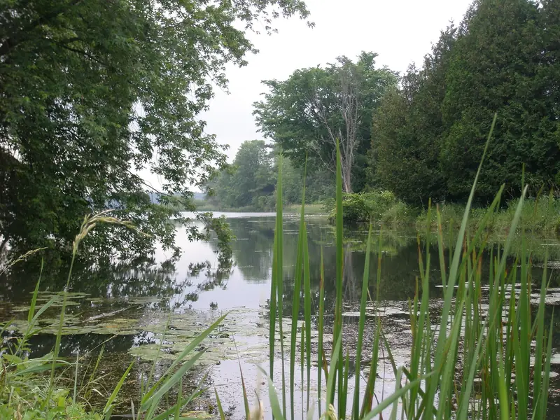
A chain of eleven islands, more than ten kilometres through the St. Lawrence, with bike paths, nature trails and picnic spots. A day-use permit is required if you leave your vehicle. The official 2026 close date is 16 November, reopening in spring 2027, weather permitting.
Season The official page said the parkway closes for the winter on 16 November 2026 and reopens in spring 2027, weather permitting. A day-use permit is required if you leave your vehicle (check before you go).
A riverside day-use beach on the parkway, for swimming and picnics. First-come; the official beaches page says to arrive when the beach opens at 9 a.m. A day-use permit is required. Mille Roches Beach, farther east on the parkway, is closed for the 2026 season.
Season Day-use beaches are first-come; the official page says to arrive at 9 a.m. when the beach opens. Mille Roches Beach is closed for the 2026 season (check before you go).
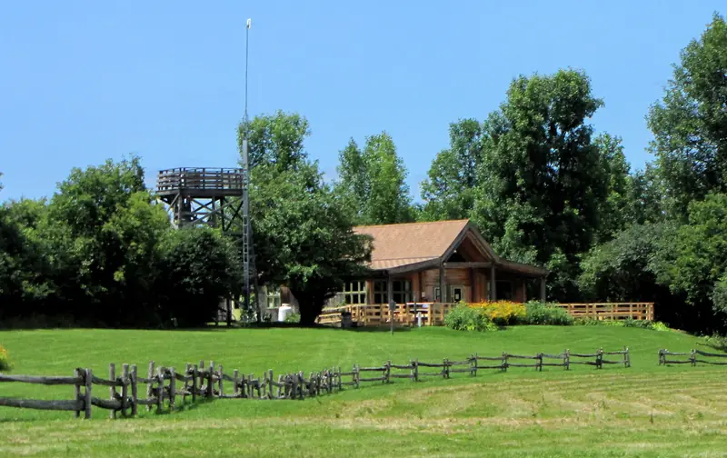
A 490-acre sanctuary west of Upper Canada Village, with more than six kilometres of self-guided trails and more than 200 bird species recorded. Trails are open daily, year-round; the visitor centre hours change with the season. Pets and bicycles are not permitted on the trails.
Season Trails are open daily, year-round; visitor centre hours change with the season (check before you go).
A Parks of the St. Lawrence day-use beach and picnic area on the river at Morrisburg, next to the marina. A day-use permit is required.
Museums, landmarks and the places people come here for.
A small village main street a short walk from the municipal beach and the river. Free to wander.
A municipal park in Morrisburg with a playground and a splash pad, a short way inland from the beach. Free.
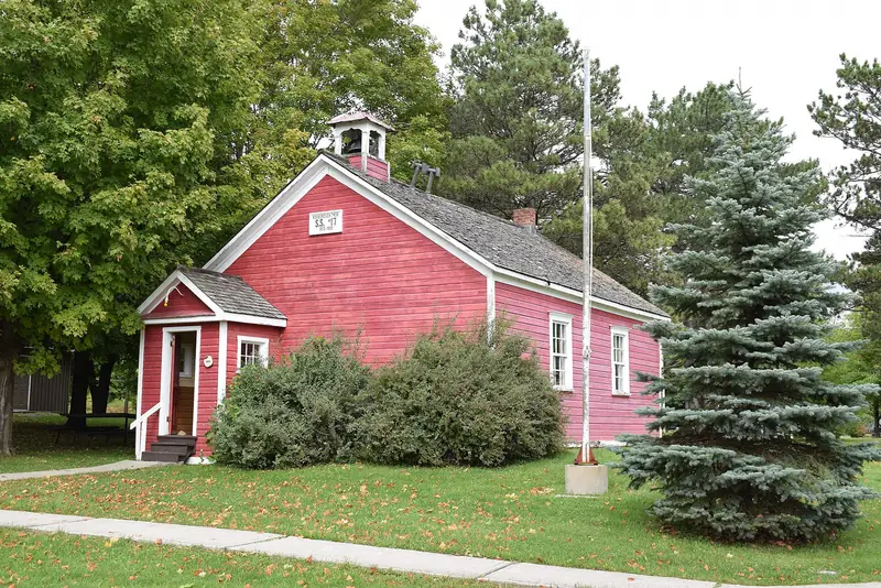
An open-air museum in Ault Park, with houses, a schoolhouse and a train station from the communities flooded by the Seaway. The official site said it was closed for the season, with a return in the summer of 2027.
Season The official site said the museum was closed for the season, with a return in the summer of 2027; archives are available by appointment (check before you go).
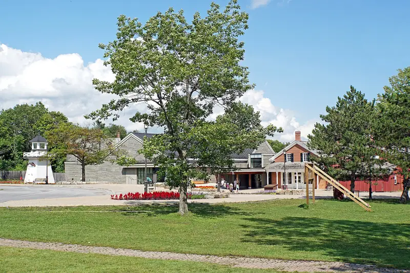
A living-history village of more than forty buildings, moved here during the Seaway project, depicting rural Ontario around 1866. Hours are seasonal; the official site posts what is open.
Season Hours are seasonal. The official site was posting Alight at Night for 27 November 2026–2 January 2027; regular village hours were listed as closed on 12 November 2026 (check before you go).
Main streets, markets and the dates worth planning around.
Independent shops and restaurants in the village, a short walk from the river.
A few places to eat near the beach and the river, after a walk on the shore.
Cruises, tours and experiences people book here. Each one goes to the operator's official page, and you can still add it to your trip.
A daily or annual day-use permit for the Long Sault Parkway, Woodlands Beach, Crysler Park Beach and other Parks of the St. Lawrence day-use areas.
These are in the lists above, so we don't repeat them here.
Part of our The Upper St. Lawrence guides.
Ontario's easternmost city, a waterfront trail and a downtown park, about half an hour east.
Brockvilleabout 70 min · Guide ↗The railway tunnel and a river waterfront, farther upriver.
Photo: The St. Lawrence from the Long Sault Parkway, gueco8288, CC BY 3.0
Photo: Fog on the St. Lawrence near Canada Island, Morrisburg, Doktor Ellis, CC BY-SA 3.0
Photo: A quiet channel along the Long Sault Parkway, gueco8288, CC BY 3.0
Photo: The visitor centre at Upper Canada Migratory Bird Sanctuary, D. Gordon E. Robertson, CC BY-SA 3.0
Photo: Historic buildings at Upper Canada Village near Morrisburg, Dennis G. Jarvis, CC BY-SA 2.0
Photo: A relocated schoolhouse at the Lost Villages Museum in Ault Park, Cantons-de-l'Est, CC BY-SA 4.0